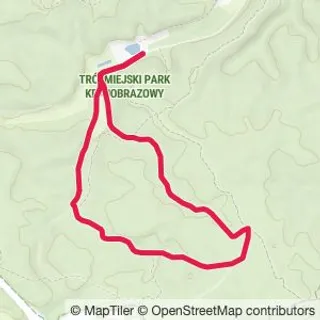
Dolina Radości (Valley of Joy)
Starting point
The route begins at the entrance to the Dolina Radości. There is no easy way to get there by public transport. The quickest option is to take a car and park it at the small parking lot.
Alternatively you can extend your hike by a 40 minutes walk from the closest bus stop Karwieńska, but at this point consider planning your trip from another direction. For example if you start from Harfowa street you can cover this distance through the forest paths rather than along the road.
Going up
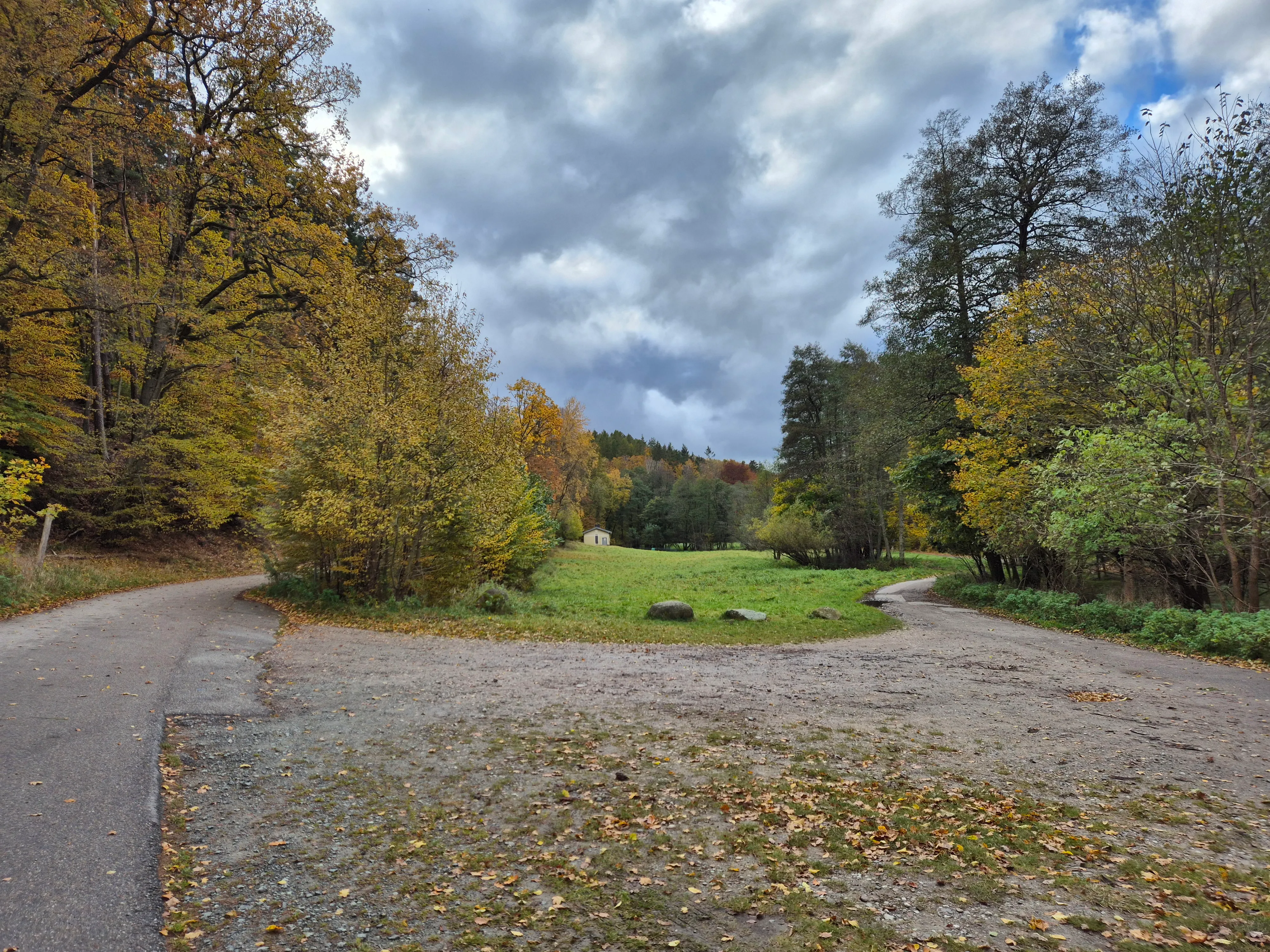
Locate the entrance to the valley and start walking along the stream. Soon you will find yourself on the meadow limited by two asphalt roads on both sides.
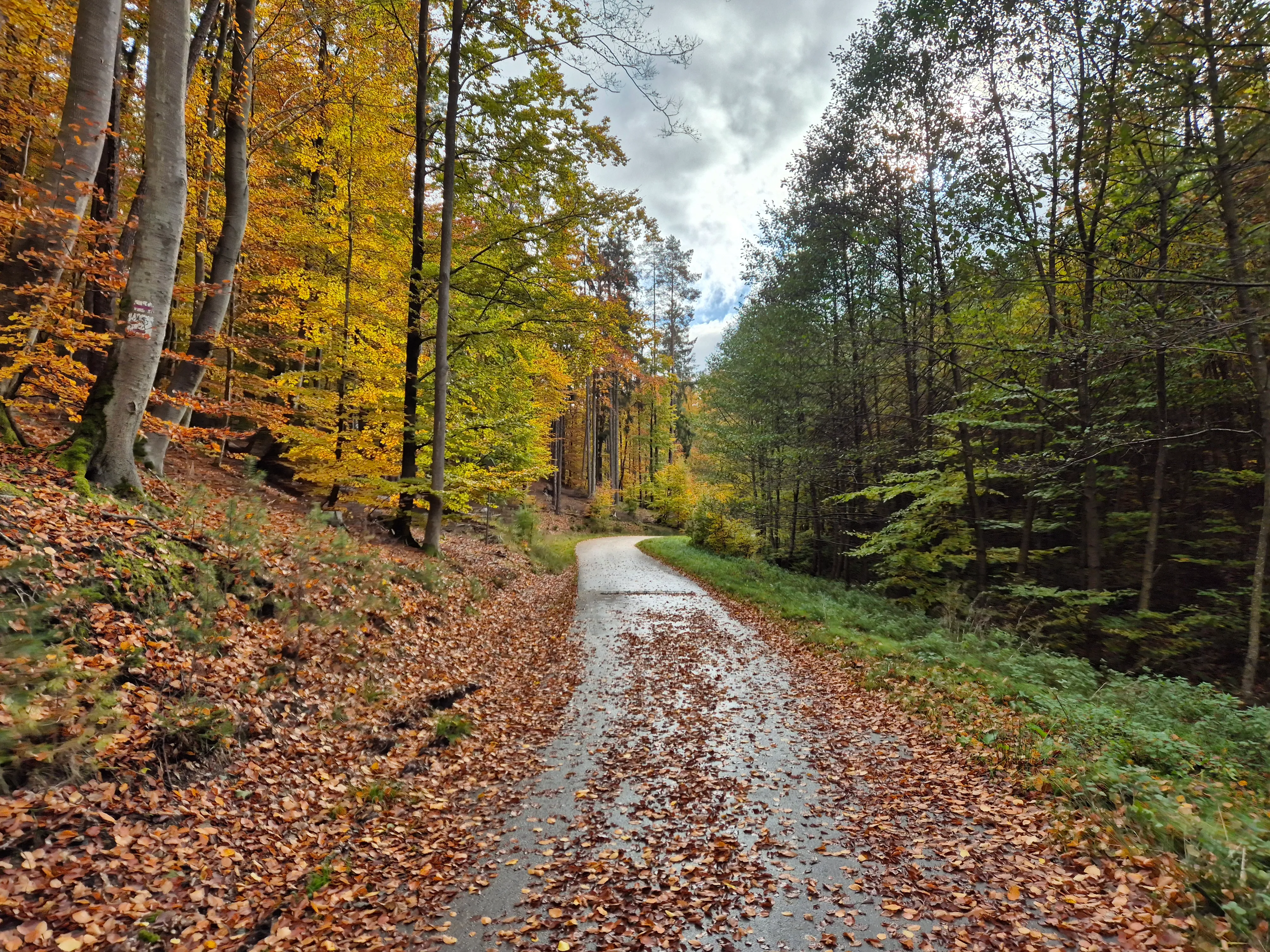
You can expect little to no traffic on these roads since the area is within the landscape protection area. If you spot a vehicle here, it’s probably the forest service or an ambulance. Pick the left road and proceed with the mild climb.
After a couple of tight turns you will reach a crossroad.
And coming down
The highest point of the trail is behind you. You can take a rest in the forest gazebo or consult the printed map that is available here. Turn right and after a few minutes leave the asphalt road and continue on the forest path. The path from now on leads gently downhill. Once you cross the stream turn right. Continue straight and you will reach the glade and the crossroad you have seen before.
Going back
You are likely going back to pick up your car. Otherwise you can consider another 40 minutes walk to the closest public transport stop.